Places of interest detailed in our guide
 Airport
 Attraction
 Albertina Belvedere Castle Burgtheater, the National Theatre Capuchin Crypt Danube Tower Hofburg, the Imperial Palace Hotel Café Sacher Hundertwasserhaus Kunsthistorisches Museum, the Art History Museum Leopold Museum Madame Tussauds Vienna Mozart’s Birthplace Mozarthaus in Vienna Museum of Illusions Musikverein Naschmarkt and the flea market Rathaus Salzburg Fortress Schoenbrunn Palace Schoenbrunn Zoo Sigmund Freud Museum Spanish Riding School St Stephen’s Cathedral The Prater, Vienna’s historic amusement park Vienna Central Cemetery Vienna Chocolate Museum Votivkirche, the Votive Church
 Citta
Citta Nazione
 Landscape
 District
 Region
 Village
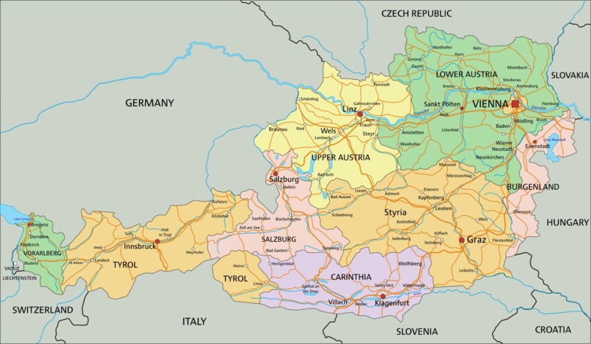
 Hotel
Hotel  Budget accommodations
  Apartments
  Family Hotel
  Luxury Hotel